There is something magical about 360 photography. It puts the viewers right in the middle of the scene where they can tour, explore and discover, in person as it were. It is the next best thing to being there in person.
Google Maps Street View is a virtual feature that lets users explore real-world locations through millions of 360-degree panoramic images. These images are sourced from both Google and user contributions, enabling people around the globe to visually navigate streets, landmarks, and neighborhoods.
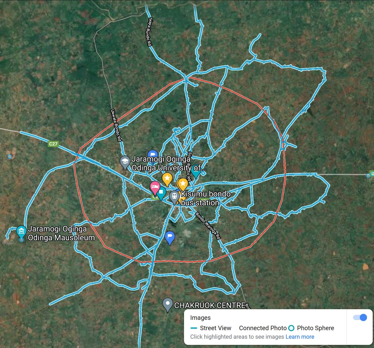
Launched in 2007 in select U.S. cities, Street View is now available in urban and rural areas worldwide via Google Maps and Google Earth. Streets with available imagery are marked by blue lines or dots, allowing users to click and view interactive panoramas from various street-level positions.
We at Bondo360 have been actively capturing Street View imagery within Bondo town since 2020 and are responsible for the bulk of contributions, besides Google herself, of Street View imagery within Bondo
Now you can view and explore all 360-degree Street View images and other non-Google 360-degree Virtual Tours captured in Bondo all in one place!